82.18 - Alaska (Star Chart included), [CL 54 / 55];
-
SOLD
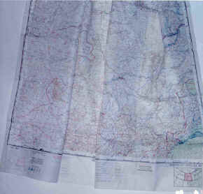
scale 1:2,000,000; published by the USAF, Aeronautical Chart Service, Washington, D.C.; October 1949; printed by the U.S. Coast & Geodetic Survey; (35.0″ x 35.0″)